
over the hill Maps and Regions: Canada and Algeria
Learn how the handcrafted area structure works, which regions are confirmed, and why old Demo maps are incomplete.
Applies to: Steam launch build · Canada and Algeria
Quick answer
over the hill is not one seamless procedural open world. It uses handcrafted areas grouped into regions, with portals linking areas without sending you back to the main menu. The Steam launch includes several areas across Canada and Algeria. Funselektor describes each area as roughly 4 km by 4 km, but the reviewed official sources do not provide a final launch-area count or complete marker map.
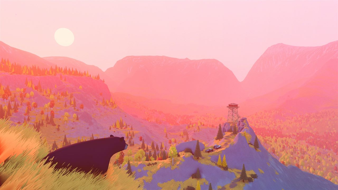
How the map is structured
The world is made from handcrafted, area-based maps. It is neither procedural nor one uninterrupted “see everything from anywhere” open world. Areas sit inside larger regions, and the developer FAQ describes each area as approximately 4 km by 4 km.
Canada and Algeria
| Region | Officially established | What remains outside this page |
|---|---|---|
| Canada | Part of the Steam launch; includes the setting used for the earlier Emerald Lake / Valhallas Demo slice | A complete launch marker count and every area boundary |
| Algeria | Part of the Steam launch and introduced as the second region during development | A complete official list of every collectible and active spawn |
The release announcement promises several areas across the two regions. The FAQ earlier said the team was working on six areas, but that was a development-state answer, not a final launch manifest. This guide therefore does not title itself “all six maps.”
Travel, landmarks, and route planning
Official descriptions identify portals, cabins, scenic viewpoints, natural landmarks, meteorites, forests, lakesides, and mountains. Use campsites and known paths as anchors, then assess terrain instead of drawing a straight line to a marker.
- Identify the destination area and available portal before choosing equipment.
- Check weather, daylight, slopes, and water crossings.
- Mark a fallback route with better traction even if it is longer.
- Carry tools appropriate to the terrain; a map marker does not guarantee an easy approach.
Why old Demo maps are incomplete
The Next Fest Demo exposed only an early slice of the game. Funselektor later said launch areas would contain more content and changed meteorite spawn points after release. A Demo marker map can still show terrain, but it cannot prove that a launch-build objective, meteorite, animal, or reward is active at the same coordinate.
Sources
- Official Steam news — Canada and Algeria at launch and the post-launch spawn update.
- Pinned developer FAQ — handcrafted areas, region structure, approximate area size, and development-era area count.
- Official game site — portals, landmarks, meteorites, and world features.
- Steam store — current launch description and terrain types.
Checked October 19, 2026. No unofficial marker total is promoted to an official count.
The release announcement names Canada and Algeria. The pinned FAQ establishes handcrafted, area-based maps and an approximate 4 km by 4 km size per area. A pre-release six-area statement is not promoted to a confirmed launch count.
Not independently play-tested. This is not a claim that every platform or game version was tested. Source review: Oct 19, 2026.
More over the hill Guides
 over the hill
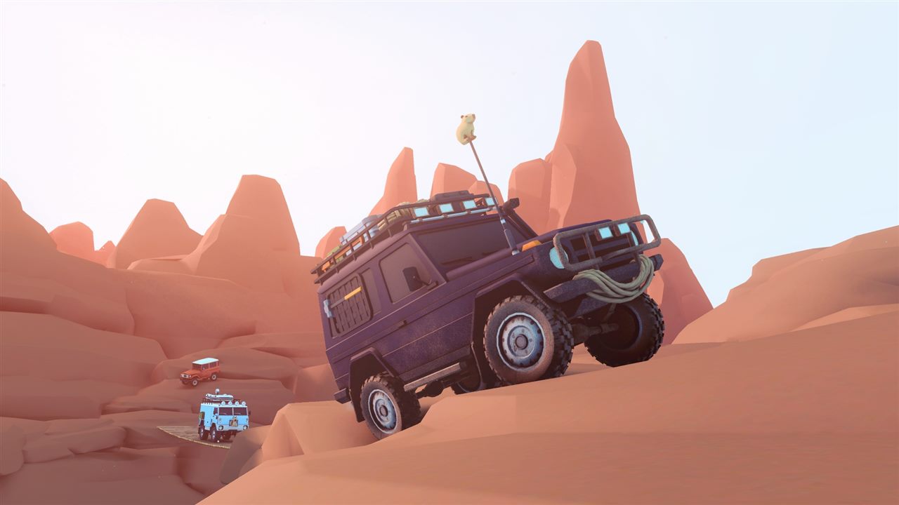
Wildlife Photography in over the hill
Use the in-game camera to document animals, fill the wildlife compendium, and separate confirmed behavior from unverified spawn lists.
 over the hill
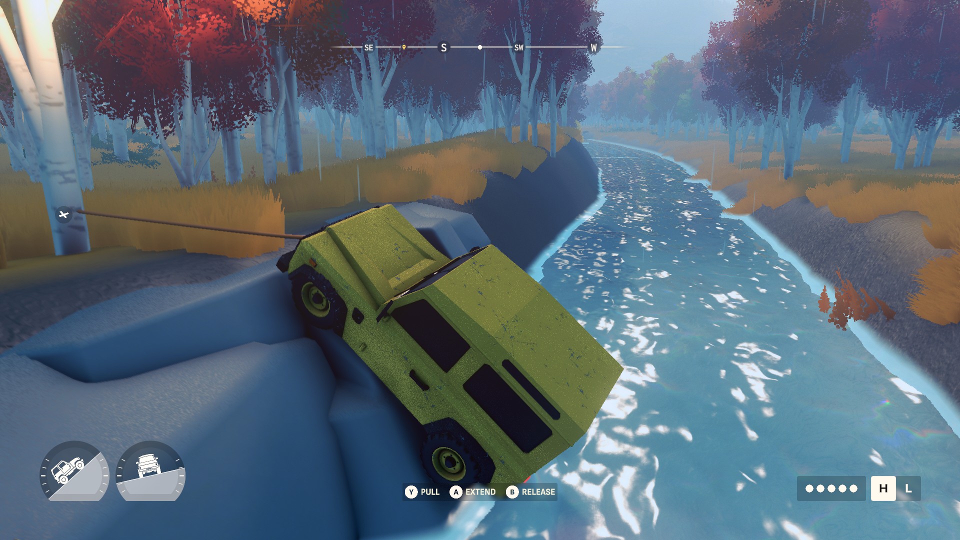
How to Find and Extract Meteorites in over the hill
Use the Meteorite Detector, connect the winch correctly, add direct co-op lines for larger rocks, and avoid relying on Demo-era fixed locations.
 over the hill
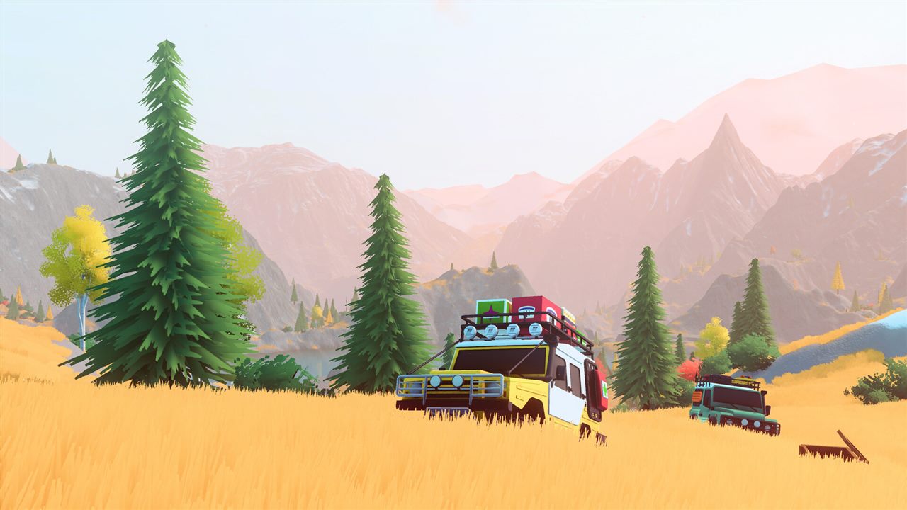
 Platforms and Release Status
See what is available now on Steam, which console versions are planned for 2027, and what remains unconfirmed.
 over the hill
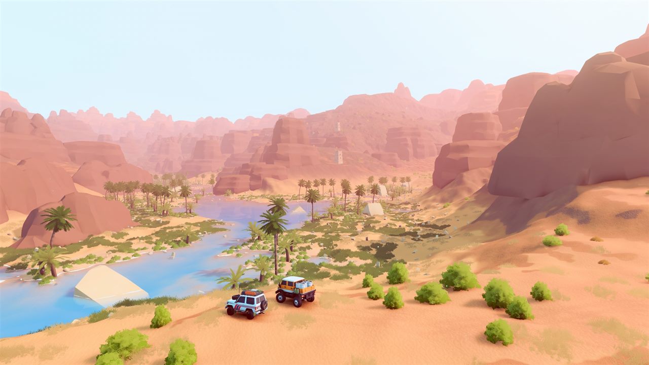
 Multiplayer and Co-op Explained
Check the player limit, online and local co-op status, shared progression rules, and cross-play promise.
 over the hill
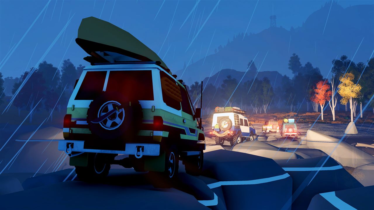
 System Requirements and Steam Deck Status
Compare the published PC minimum with the current Steam Deck status and understand what has not been specified.
 over the hill
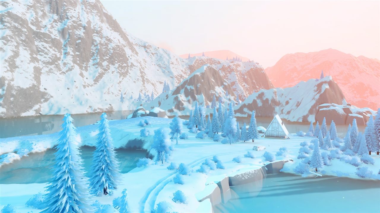
How Vehicle Unlocks Work in over the hill
Understand the confirmed unlock loop, upgrades, cosmetics, and why this page does not claim an unsupported complete vehicle list.